
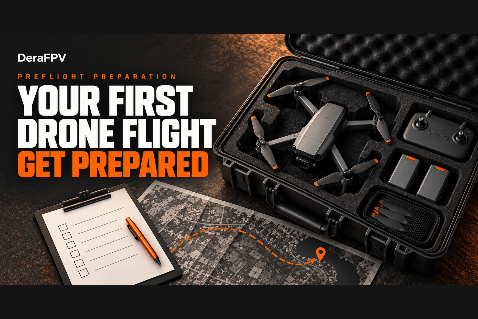
My FPV drone practice so far has been in Liftoff and Uncrashed, using a DJI FPV Remote Controller 3. Preparing for a physical first flight means adding decisions that simulator practice cannot settle: permission to use the site, the applicable airspace requirements, aircraft setup and a plan for ending the flight safely.
This is my researched preparation checklist, not a report of a completed outdoor flight or a clearance I have obtained. I would work through it with an instructor for the aircraft I plan to fly. A DJI camera drone, an Avata 2 and a custom manual FPV drone do not share every setting or recovery procedure.
Here is how I would organise the paperwork, site survey, failsafe checks and first short flight. Official requirements and the aircraft manual take priority over this checklist.
The Pre-Flight Preparation Matrix: What I Check Before Takeoff
| Flight plan | Permission and airspace checks | Aircraft preparation |
|---|---|---|
| Outdoor practice | Confirm registration, the site's airspace and any required approvals with NCAA/NAMA; obtain landowner permission | Use an open practice area and the manufacturer's beginner mode where available |
| Outdoor commercial work | Confirm operator, pilot, aircraft and mission requirements; obtain written site permission | Plan the operating area, crew roles and contingency landing areas |
| Fully enclosed indoor practice | Check whether the particular operation meets the Part 21 indoor exclusion; obtain property permission | Follow model-specific indoor limitations and keep people clear |
I would not treat a drone's weight, a private compound or an app unlock as permission to launch.
1. Bureaucratic Clearance: NCAA Portals, NAMA Airspace & Route Coordinates
My starting point is the current NCAA Part 21 RPAS regulations. Section 21.1.1.5 limits recreational operations to below 400 feet AGL, VLOS, outside the prescribed aerodrome/heliport buffers and away from congested and restricted areas. Those conditions are not a blanket exemption from registration or other requirements. The indoor exclusion also has limits: a missing roof or wall changes whether a flight counts as indoors.
A. NCAA registration and the proposed operation
I would check the NCAA RPAS portal and confirm what registration and approvals apply to my aircraft and intended operation. I would keep the applicable aircraft, pilot and operator documents together rather than assuming one certificate covers everything. For commercial certification, NCAA publishes an RPAS certification service and application guidance.
B. NAMA coordination, coordinates and flight clearance
NAMA lists separate e-Flight Plan, e-NOTAM and e-Flight Clearance services. Its eClearance portal handles applications for permits into Nigerian airspace. I would ask NCAA/NAMA which process applies to my particular drone operation; submitting a form does not itself grant permission.
For that enquiry, I would prepare the intended operating boundary, coordinates with their format clearly labelled, proposed dates and times, maximum height above ground, aircraft details and contact information. I would ask what additional documents, lead time and airspace coordination are required. A map polygon is a planning aid, not an approved flight area, and I have not verified a universal 100-metre buffer or a single form for every RPAS flight.
Before departure, I would confirm the applicable permission and current restrictions through the official channels. I would not assume that every NOTAM bans flight or that an empty app map means the airspace is available.
C. Securing Estate Facility Management Clearance
For a planned shoot in a gated estate, I would arrange site access separately from airspace approval.
- Contact the Estate Facility Management office or Residents Association (HOA) early and ask about its notice period.
- Provide your pilot name, drone model, serial number, NCAA registration certificate, and an official clearance letter from the property owner hiring you.
- Request written confirmation (an email or stamped gate pass). When you arrive at the estate gatehouse, show this pass so the agreed access arrangements are clear.
2. Physical Site Scouting: The Hidden Hazards of Flying in Nigeria
Nigerian urban environments present unique physical and radio hazards that catch foreign-trained or simulator-trained pilots off guard:
Metal, concrete and compass warnings
I would inspect the proposed launch surface for nearby vehicles, metal structures and reinforced concrete. For a drone with a compass, I would follow its manual's warnings and calibration instructions rather than recalibrating automatically at every site. If a warning persists, I would stop and relocate before considering takeoff.
For the Avata 2, I would consult the official user manual. I would not assume that a folding pad shields magnetic interference or that every custom FPV drone even has a compass.
The NEPA Cable Hazard
In many residential neighborhoods across Lagos and other Nigerian cities, public electricity cables (NEPA / PHCN lines), fiber optic internet cables, and private generator transfer wires hang across streets in chaotic webs.
Through FPV video goggles or a phone screen, thin wires can be difficult to identify in a video feed. I would never use a supposed detection distance as my clearance margin.
- Scout the perimeter with your naked eyes first: Before taking off, walk the entire flight area. Note every overhead wire, power pole transformer, and tall tree.
- Mark a practice area away from power lines, with room to land if the flight needs to end. If I cannot keep a clear operating area, I would choose another site.
Heat and battery planning
I would check the battery's condition, the aircraft's operating limits and the temperature at the site. DJI's Avata 2 safety guidelines warn against heat exposure and advise letting a hot battery cool before charging. I would keep batteries out of a parked hot car and direct sun, and stop for a low-battery or temperature warning.
I cannot support a claim that Lagos heat halves every drone's endurance. I would plan a short first session with a generous reserve. A fixed percentage or a single per-cell voltage is not a universal landing rule across battery chemistries, aircraft and loads.
Birds and other wildlife
I would avoid launch areas where wildlife is active or disturbed. If birds react to the aircraft, I would back away and end the flight safely rather than use a blanket full-throttle climb. Wildlife agency guidance recommends avoiding disturbance and backing off when wildlife responds; its local distance rules are not Nigerian aviation law.
3. Setting Your Failsafes: Preventing the Costly "Lagos Flyaway"
Before your props ever spin, your flight controller and radio controller failsafes must be configured correctly.
Return-to-Home and loss-of-signal behaviour
I would read the aircraft's documented RTH behaviour, confirm the recorded home point and choose a return path and altitude for the actual site, within the permitted operating limits. A fixed 60–80 metre setting cannot guarantee clearance or legality. The Avata 2 manual also explains how recovery depends on the aircraft's status and conditions.
For a custom FPV drone, I would have an experienced builder or instructor verify the configured failsafe. I would not assume GPS Rescue is equivalent to DJI RTH or select a motor-stop response from a generic checklist. Any bench checks involving motor-control commands need the propellers removed. I would not deliberately switch off the transmitter in flight to test a failsafe.
Configuring Your Spotter Protocol
I would agree the observer arrangement required for the operation and brief that person before takeoff.
Before putting on your FPV video goggles or looking down at your tablet screen, brief your spotter on three specific duties:
- Airspace Scanning: Continuously watch the sky for incoming low-altitude police or military helicopters, large birds, or other aircraft.
- Perimeter Defense: Face outward toward public pathways. If curious bystanders, children, security guards, or local street touts (agberos) approach, the crew alerts the pilot and keeps the landing area clear. If public access cannot be managed, I would end the flight.
- Real-Time Altitude Callouts: Use clear, agreed calls for hazards and for ending the flight; a spotter cannot make a route close to power lines safe.
4. My Pre-Flight Checklist
I would use this as a reminder alongside the aircraft manual, taking as long as needed rather than rushing to meet a five-minute target:
[ ] 1. PHYSICAL INSPECTION
    - Carbon frame and arms checked for micro-cracks.
    - Propellers inspected for chips, bends, or cracks.
    - Motor bells spin freely without gritty resistance.
    - Camera lens cleaned and ND filter secured.

[ ] 2. BATTERY & ELECTRONICS
    - Correct battery type, charge level and temperature verified against its manual.
    - Battery physically strapped with dual non-slip straps (FPV) or locked click (DJI).
    - Controller and goggles have enough charge for the session plus reserve.
    - Storage space checked; existing footage backed up before any formatting.

[ ] 3. ENVIRONMENT & SIGNALS
    - Launch and landing area clear; separation follows the aircraft manual and site plan.
    - Radio controller powered ON before drone is powered ON.
    - Video feed clean with minimal channel interference.
    - Positioning status confirmed as required by this aircraft; no unresolved warnings.
    - Home Point updated and confirmed on map display.

[ ] 4. FAILSAFE VERIFICATION
    - Return path and altitude checked against site obstacles and operating limits.
    - Aircraft-specific loss-of-signal and low-battery responses verified.
    - Controls understood; motor-control bench checks completed with propellers removed.

[ ] 5. DOCUMENTATION IN HAND
    - Applicable aircraft, pilot, operator, mission and site documents available.
5. My Plan for the First Short Flight
I would begin in an open, authorised practice area, with an instructor where needed, using the aircraft's supported beginner or stabilised mode. Manual acro flight does not hover automatically when the sticks are released.
- Confirm the launch and landing areas are clear, the aircraft reports ready, and the crew knows the stop signal.
- Make a short, low hover appropriate to the aircraft and site. Check the response to gentle control inputs, sounds, warnings and positioning.
- Land and inspect if anything is unexpected. Do not continue to diagnose a problem while flying farther away.
- Keep the session short and nearby. Practise a controlled landing with reserve power; leave range tests and automated recovery demonstrations for a supervised plan.
For me, the useful milestone is a controlled takeoff and landing with the paperwork and setup checked. It is not a promise that a checklist removes every risk.
Next Steps & Recommended Resources
- Need Clarification on Drone Laws & Permits? Read our complete guide: Can You Fly Drones Without a License in Nigeria? (What the NCAA, Police & Law Actually Say in 2026).
- Looking to Get NCAA Certified for Commercial Work? Compare accredited academies in our guide: Drone and UAV Training Schools in Nigeria (2026 Guide): Where to Learn and Get NCAA Certified.
- Choosing Your Radio Controller? Check out our tested recommendations: Best FPV Drone Radio Controllers for Nigerian Beginners (2026 Guide).
- Join Nigeria's Drone Pilot Community: Connect with local pilots, ask airspace questions, and share flight locations in our Telegram community: t.me/Naijadrones.
Sources and Review Date
Reviewed on 23 October 2026 against the NCAA RPAS portal and Part 21, NCAA certification guidance, NAMA's public services and eClearance portal, and DJI's Avata 2 documentation linked above. I have not submitted or obtained flight clearance as part of preparing this guide. Mission-specific approvals should be confirmed directly with the authorities.